Somewhere along Route 218 near Interstate 65 to
Hilly Weed Field along Route 218, Kentucky
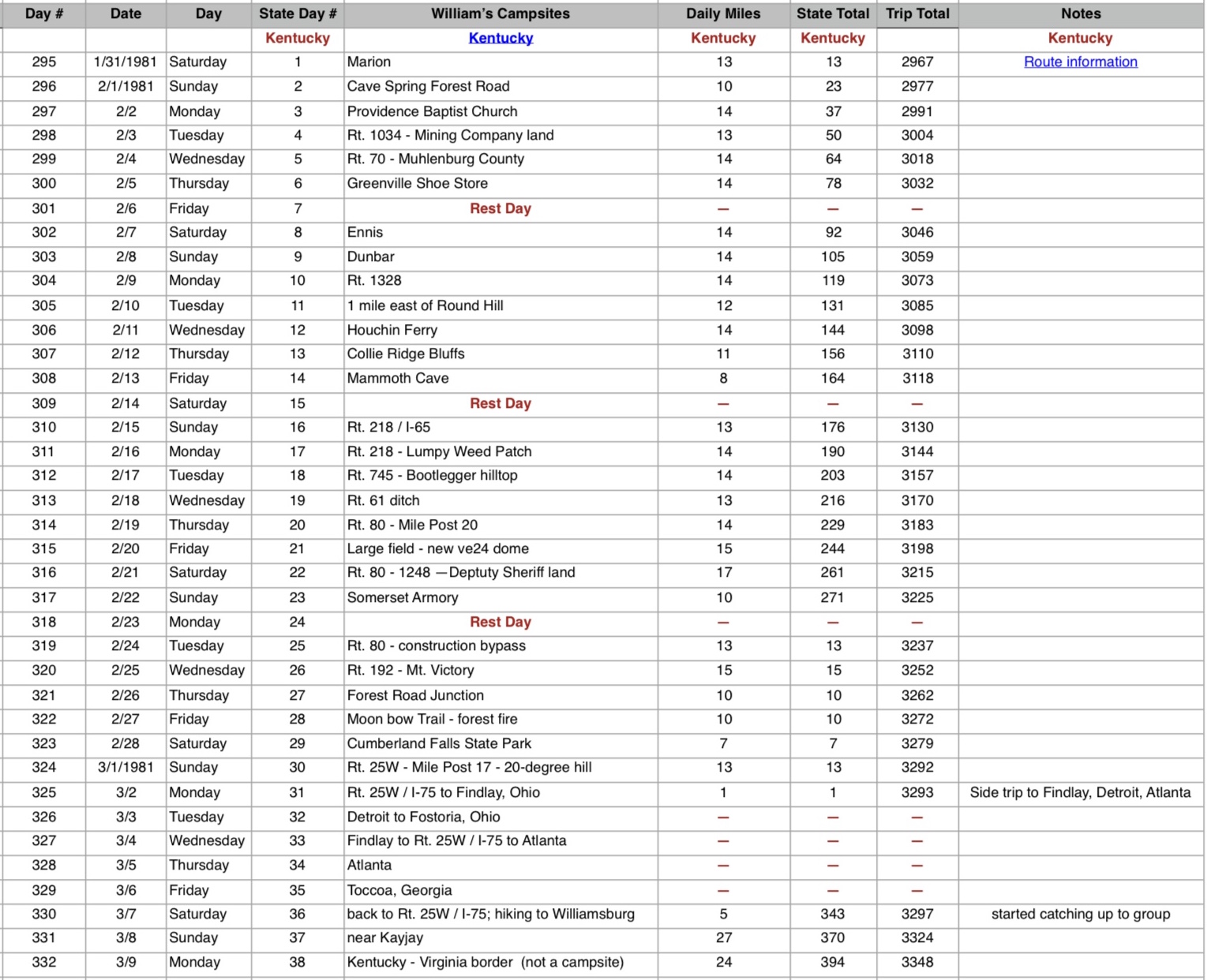
~ 13.5 miles - Monday - February 16, 1981 - Day 311Click on photos for larger versions. Click on text links for additional content.
|
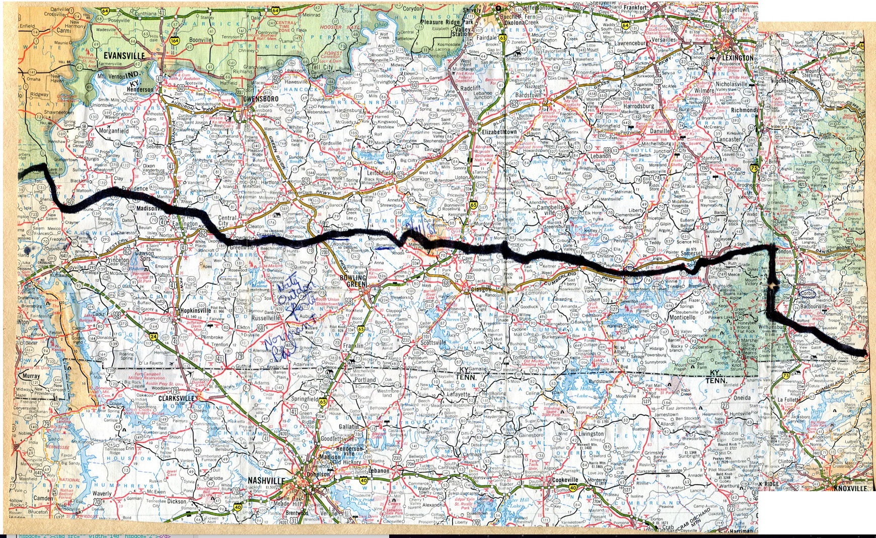
Kentucky map

Kentucky route information |
The Progression of HikaNation - Kentucky
details the journey with various organizational
memos, letters, newspaper and magazine articles. |
Unofficial Kentucky campsites

Unofficial HikaNation Campsites List
|
| Searching for appropriate photos |

|
Searching for appropriate photos |

Searching for appropriate photos
|
From William Ewart's journal:
Rain started last night at the interstate campsite - slight drizzle all day today with some heavier showers. Off by 915am and to town (name??) and cafe by 945am - went all out with eggs, sausages, panckes, pie, toast and coffee - 3rd time in as many months. Not bad (spending wise). Then to grocery store around 1130am.
6 miles to another small grocery store. Bunch of people crowded in the back of the store due to the rain. And of course, the rain picked up considerably for the last 2 miles to camp.
Large grass-lumpy area for campsite - the joys of backpacking. Heavy periods of rain tonight, never ending light rain.
Shellie ill - taking medicine and can't lift anything for a few days to a week. I was over at the trailer taping up a box to David and offered to carry her pack to Scott's tent - she invited me to a chicken, vegetables, biscuit dinner!! Took my recorder and Scott and I played, she sang, then all together on "Conventry Carol" and "Consolation". Scott carried away with hilarious TAH TAH KAH TAH during "Miller of Dee". Many tangents and then I'd steer him back to the song we planned to play. Lots of laughter.
No one seems to have taken photos for this stretch of the trip...next one looks like the 21st of February.
Theoretically we were suppose to be camping on Barney Wither's land Monday night (tonight) on the edge of Metcalfe County, but plans were changed to avoid higher mileage days.
|
|