
Hilly Weed Field along Route 218 to
Bootlegger Hilltop along Route 745, Kentucky
~ 13.5 miles - Tuesday - February 17, 1981 - Day 312Click on photos for larger versions. Click on text links for additional content.
|
Kentucky map
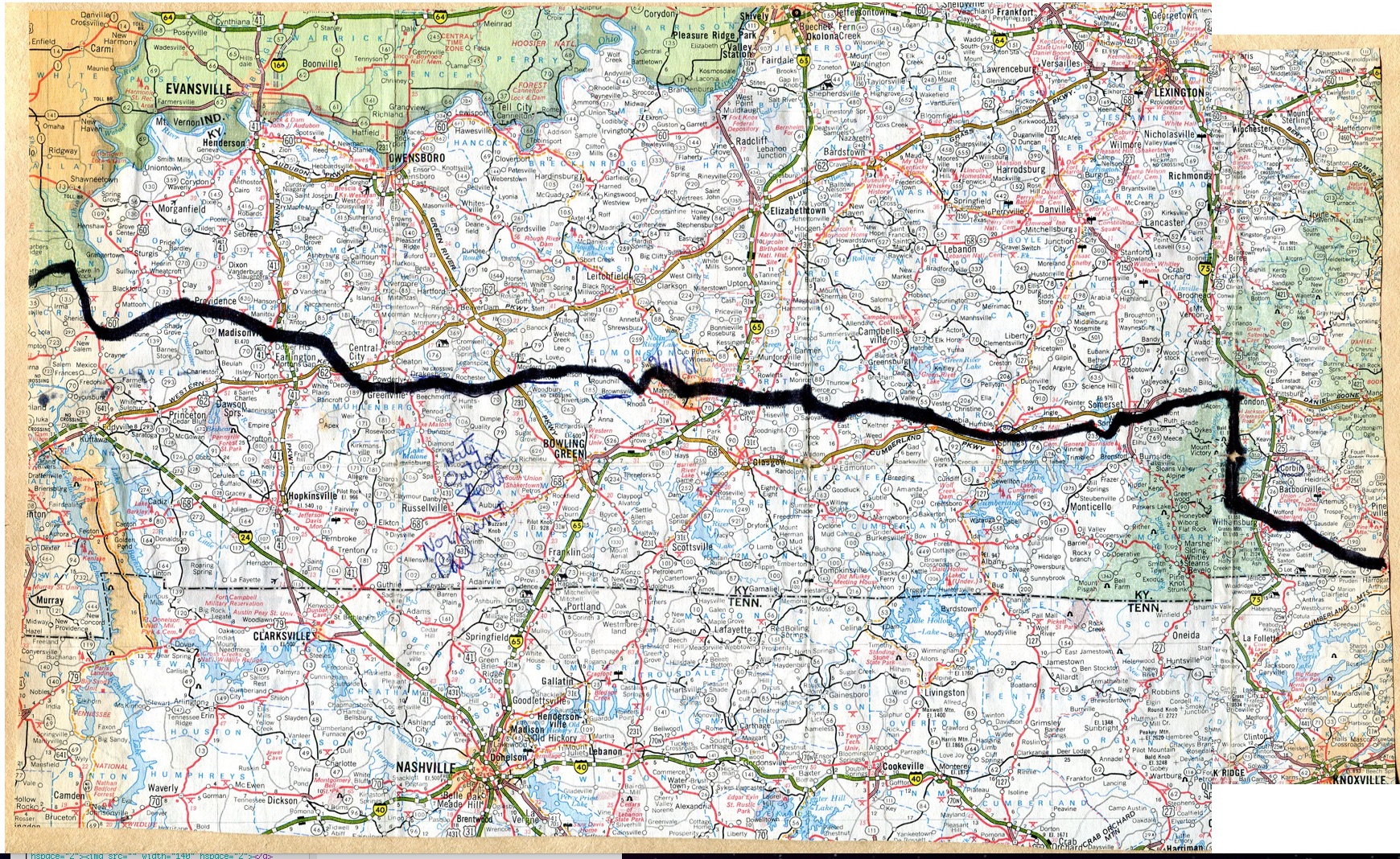
Kentucky route information |
The Progression of HikaNation - Kentucky
details the journey with various organizational
memos, letters, newspaper and magazine articles. |
Unofficial Kentucky campsites

Unofficial HikaNation Campsites List
|
| Searching for appropriate photos |

|
Searching for appropriate photos |
Searching for appropriate photos
|
From William Ewart's journal:
Rain ended about time I left the hilly, lumpy weed field morning's campsite. Passed through Sulfur Well - used to be a boom town but now only a store and a cafe remain. Curley-Q fries. Tish and Sharon had the last 2 pieces of fantastic pecan pie - Sharon gave me the last several bites of hers!!
Last 6 miles limping noticeably (continuing foot arch problem). Tim and Tish both expressed glee that pain had reached the hard cores. Joking of course. Rough day - limping uses up more energy than unhindered walking.
To camp and a bucnch already had some beer - formed tent-setting-up crews - six helping Scott. Shellie, Dave B, Linda S, set up mine for me.
At least 60 degrees today!! It is February isn't it??
|
|