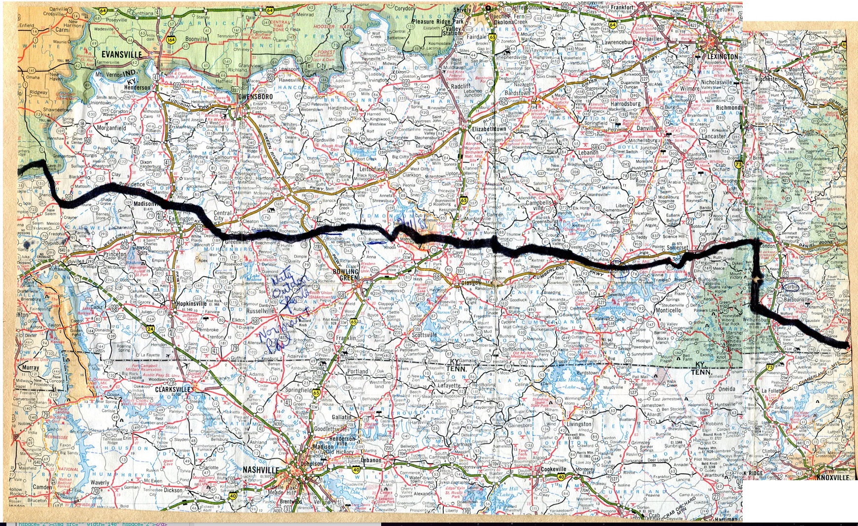
Kentucky map

Kentucky route information |
The Progression of HikaNation - Kentucky
details the journey with various organizational
memos, letters, newspaper and magazine articles. |
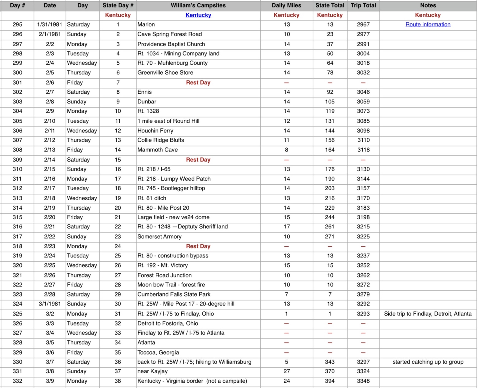
Unofficial Kentucky campsites

Unofficial HikaNation Campsites List
|

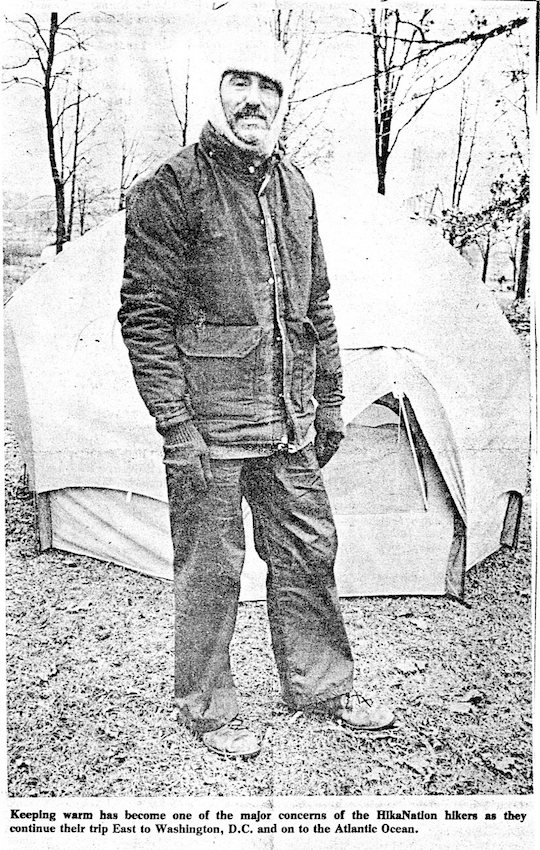
"Walking Bob" Rowe trying to stay warm
(article provided by American Hiking Society) |

Cindy Bain & Ed Duschene
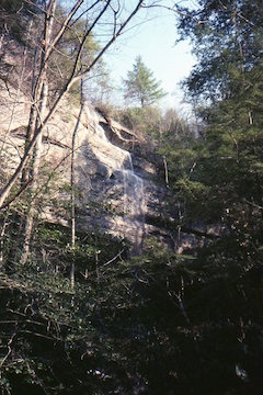
Somewhere near Mammoth Cave
(photo by Marce Guerrein) |

Somewhere near Mammoth Cave
(photo by Tim Geoghegan) |

Somewhere near Mammoth Cave
(photo by Tim Geoghegan) |
From William Ewart's journal:
Beautiful warm day until after 330pm - then clouds overcast the sky - rain tomorrow? Surprised at the day's hike - back roads all the way up to the "near interstate
campsite".
New Steering Committee may meet and cut out some days in Kentucky due to roadside camping; already eliminated a day or two of hiking west to see a waterfall. Most of the trails in Kentucky run north-to-south so hope we skip them.
Camped alongside Route 218 within site and sound of I-65 - tents on both sides of the road. Tim & Tish on higher side, watching me. When I get out Tim yells "Get back in there, you can't go out!" Later, while writing by candlelight, Tim yelled over "Go to bed William"...then we morse-coded with our flashlites.
Theoretically we were suppose to be camping on Bill Austin's farm Sunday night (tonight) after leaving Mammoth Cave, but Monty changed the campsite to avoid a 16.2 mile day.
|