| |
Rich Warnick's HikaNation Photos
Recap
| |
Page 1 -
Page 2
Page 3 -
Page 4 -
Page 5
|
Page 5
Click on any image for a larger view.
|
Return to HikaNation
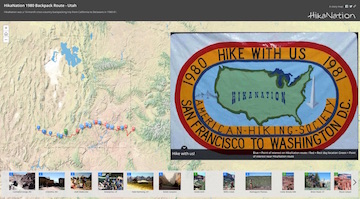
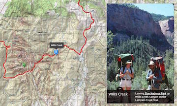
Rich's interactive map of the Utah route
|

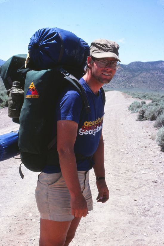
Rich Warnick
Somewhere in Nevada
|

Hike With Us
Origins of the Banner
Rich continued hiking to Washington, D.C.,
but HikaNation has no other photos from him. |

Rich Warnick
Photo by Rex Halfpenny
|
|

HikaNation Support Vehicle
Monty Montgomery's Van
|

Monty Montgomery
HikaNation On-Site Coordinator
|

HikaNation Support Vehicle
Monty Montgomery's Airstream Trailer
|
While each state had a HikaNation coordinator who planned the route and some activities through the state, Monty Montgomery (Lt. Col., USAF, Retired) was the HikaNation "on-site" Hike Coordinator. Monty drove his van and Airstream trailer parallel to the HikaNation route and provided numerous functions, including, but not limited to: coordinating with state planners, advance scouting/altering of planned route, meeting with locals & dignitaries & media, providing water/food/aid in desolate areas, transporting hikers to and from the hike, providing resupply trips to nearby towns, etc. Without Monty, Jim Kern and the state coordinators, HikaNation would not have succeeded. |
|
|
HikaNation
|
| San Francisco, California |
to |
Cape Henlopen, Delaware |
| The Pacific Ocean |
to |
The Atlantic Ocean |
| April 12, 1980 |
to |
May 27, 1981 |
HikaNation passed through 14 states & Washington, D.C.
and hiked approximately
4,286 miles in 411 days.
| |
|


