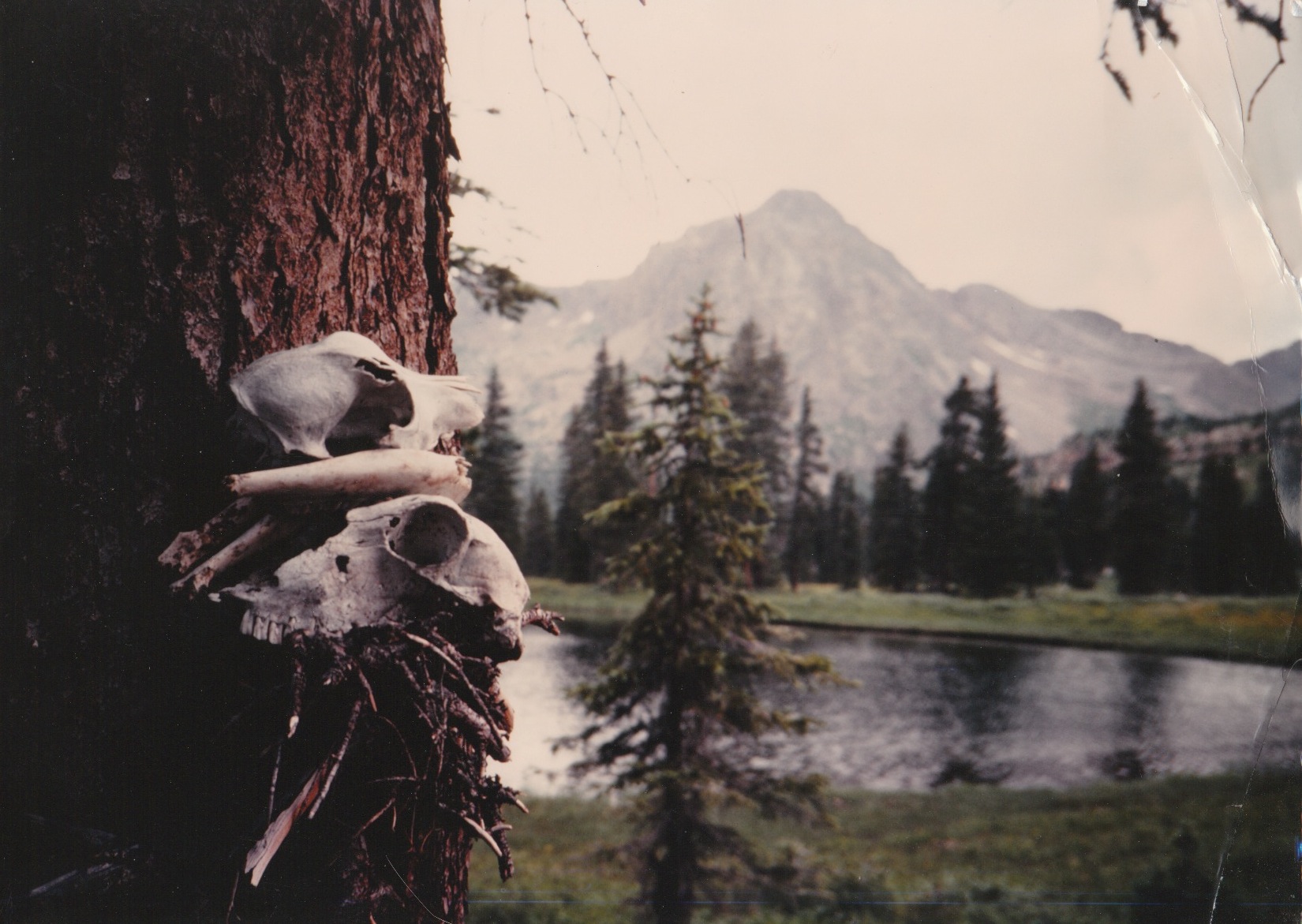
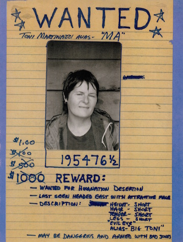
Toni Martinazzi | ||
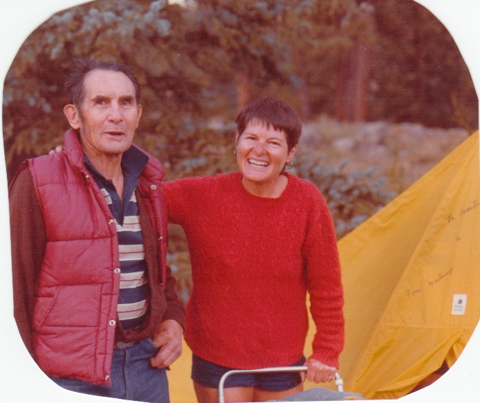
 Rhonda Leber, Toni's daughter, hiked across Utah with Toni and HikaNation. Jim Lambert's version of above Search results for Rhonda |
|
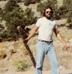 Mike Leber, Toni's son, hiked in Colorado with Toni and HikaNation. Search results for Mike |
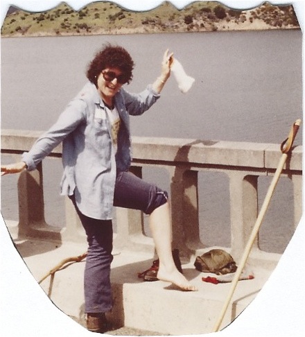
Toni's first blister---California. |
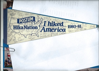
|
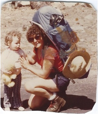
Toni posing with a curious little girl. |
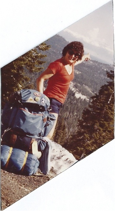
In the Sierra Nevada and we are going that a way... |
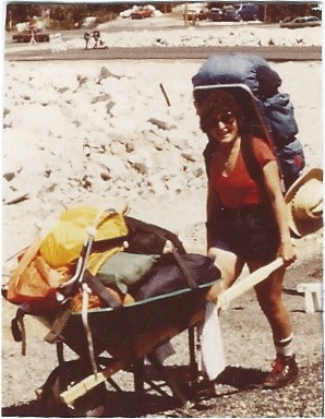
We helped transport Jiamie's gear. |
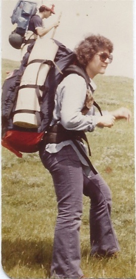
In Nevada |
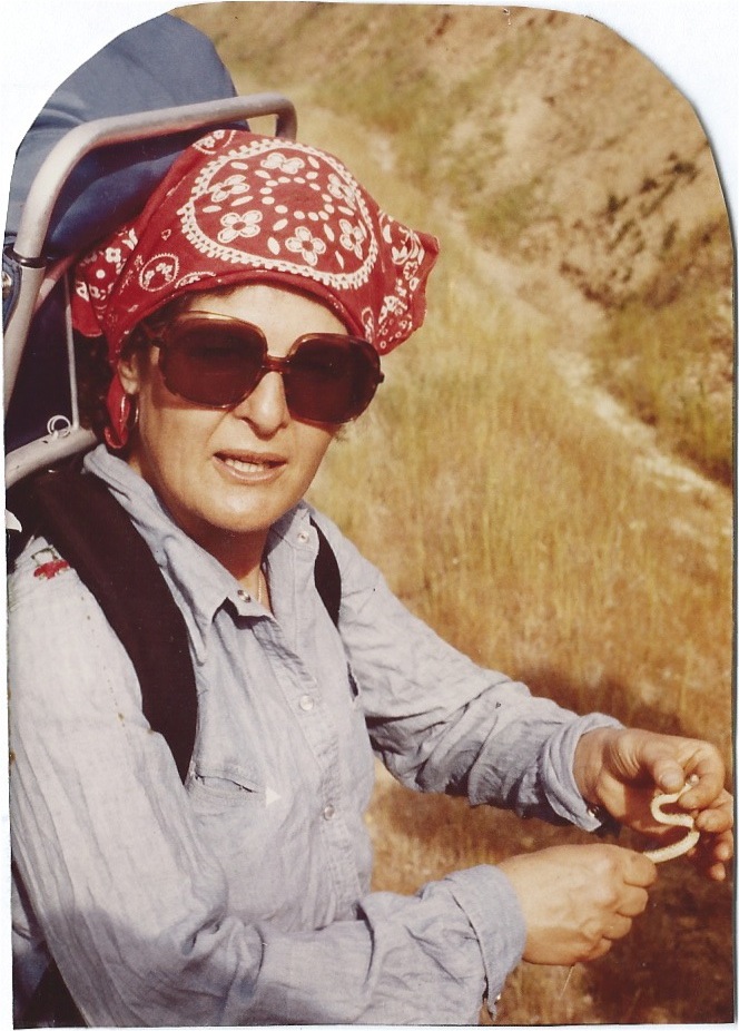
Holding a baby rattlesnake |
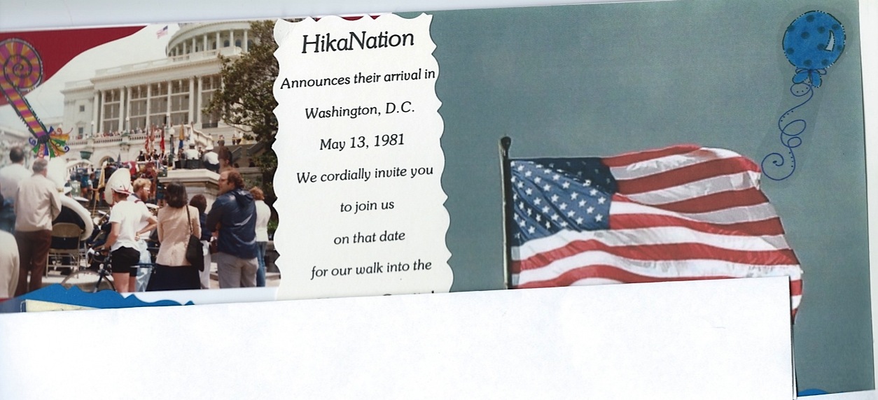
|
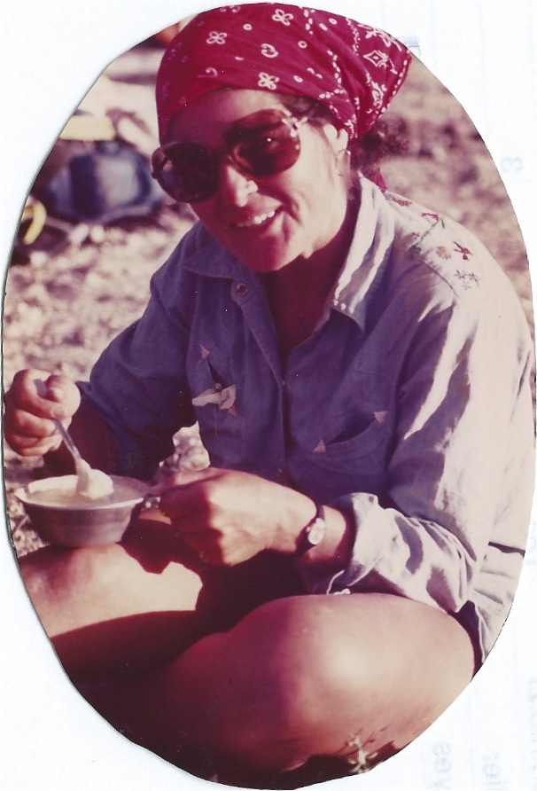
Breakfast in Colorado |
50 Hours Alone In The Woods
|
| HikaNation search engine results for Toni |
| The Hikers | 60 of Scott's Shots | Hikers by Rex | HikaNation |
Toni Martinazzi, Trigg woman to be in 2022 National Senior GamesThe Cadiz Record by Tonya S. Grace, Cadiz Record staff writerMay 9, 2022 - Updated Jun 17, 2022 Article on cadizrecord.com Article in PDF format |
| A Henry Mountain Side Trip Inquiry from Toni - February 4, 2023 |
|
February 4, 2023 - Toni wrote: William, I hope you are well and keeping warm this winter! Hey, I've been reminiscing about our year long adventure and have a question: Do you remember which of the Henry Mountain peaks a few of us climbed and spent the night atop while passing thru Utah? Toni |
|
William replied: Greetings Toni...great to hear from you. I did not take that side trip to a Henry Mountain peak but after looking at various maps and at Rich Warnick's topo maps, I believe it might have been Mount Ellen or Bartons Peak. I've included the screen capture of Rich's top map, with Mount Ellen Peak, Bull Creek Pass, and Bartons Peak circled below. Rich's map says "Henry Mountains...Going over Bull Creek Pass..." and there is a side trail right at Bull Creek Pass that takes you to the Mount Ellen summit, so that might have been the side trip you took. If it wasn't Mount Ellen, then it probably was Bartons Peak, a little after the Bull Creek Pass. Bartons Peak was actually a little closer to our route. John Mills or Keith Wright or Rich Warnick or Jerry Benson were probably the instigators of that side trip, so they might be able to give you a definite answer. I'll post your question to the HikaNation Facebook area and see if anyone can positively identify that peak you visited...and then I'll get back to you. |
| The map below is clipped from Rich's HikaNation Utah ArcGIS Online "story map" with the HikaNation route as the red line. (click on map for larger view) 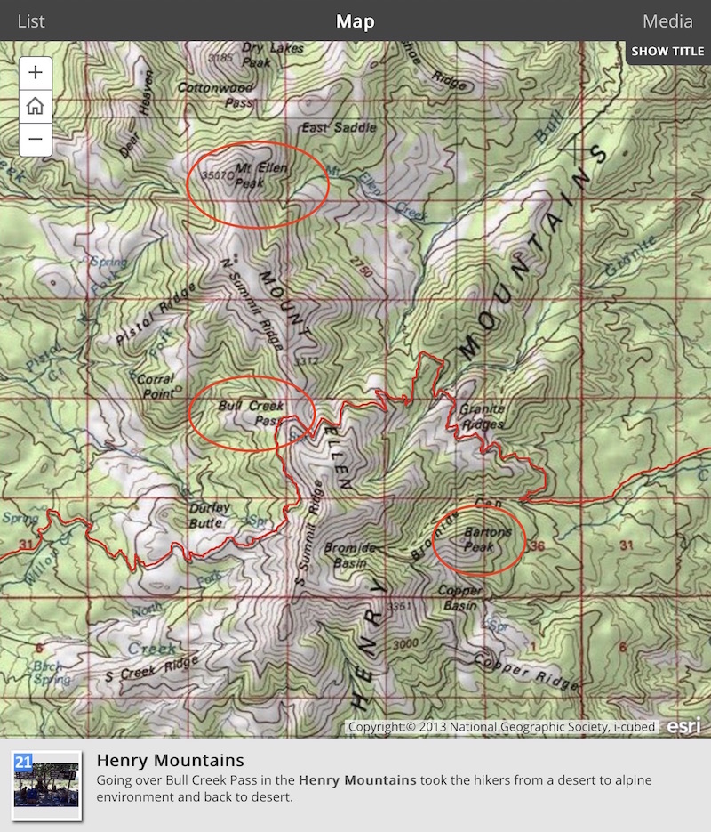 Rich's map says "Henry Mountains...Going over Bull Creek Pass..." and there is a side trail right at Bull Creek Pass that takes you to the Mount Ellen summit, so that might have been the side trip you took. |
|
Rich replied: Your map shows it really well. We climbed over Mount Ellen. It was amazing going through several ecological life zones on the way up and going back down. But the highest peak (11,527 feet) would have been a side trip if anybody went up there. |
|
John Mills replied: It was most definitely Mt. Ellen, the highest summit in the Henry Mtns. (11,500'). I have a clear memory of spending the night right on the summit of that peak after a small group of us diverged from the group's route further south & went north to its summit. I remember you, me, Ed Deschesne, & Randy Blymire for sure being in that group...there were most likely a few others as well. We wanted some relief from the July heat & spent a memorable night right on top of one of Utah's highest mountains. I hope this jogs your memory! |
|
Toni replied: John, Yes that is what I remembered but not the name of the peak! I remembered that I was the only woman and I slept away from you guys by myself. There was a spectacular sunset that evening and awesome sunrise in the morning. I had been a member of the Mazama Mountain Climbing club in Oregon and before HikaNation had previously climbed Mt Hood OR, Mt St Helen's WA ( before it blew), Middle Teton WY, Mt Adams WA, South Sister OR; then after the hike I climbed Mt Washington in NH with Shirley Hearn, Len Bjork and Joe Shute. I don't know if you guys knew that about me. Cheers, Toni |
|
Keith replied: I did not instigate any side hikes in the Henry Mountains. It was John Mills and Ed. I don't seen to have the maps for that part of our backpack. Now that I have studied the map that John Mills provided in his attachments. I see the Spring that I cowboy camped at in the nice cool mountain air before crossing the ridge of Mt. Ellen. Somewhere to the south is Mt. Pennel, Mt. Hillers, Mt. Holmes and Mt. Ellsworth all the southern peaks of the Henry Mountains. |
